Baltimore sits on a complex mix of Coastal Plain sediments and Piedmont residual soils, a geological patchwork that demands careful monitoring when you build near the Inner Harbor or along the Patapsco River. We have designed and installed geotechnical instrumentation for dozens of sites across the city, from deep excavations in the downtown core to slope repairs in Roland Park. The instrumentation itself — inclinometers, piezometers, settlement markers — gives you real-time data so you can make informed decisions before cracks appear or walls move. For sites where soil stiffness is uncertain, we often pair our monitoring with a plate load test to validate modulus values in the field.
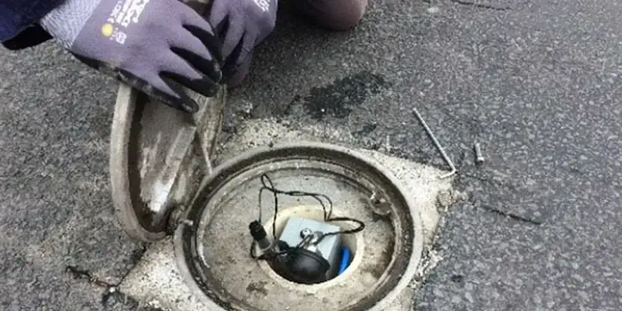
Real-time inclinometer and piezometer data from a Baltimore deep excavation allowed the contractor to adjust shoring sequence before any structural damage occurred.
Method and coverage
Regional considerations
The biggest risk we see in Baltimore is underestimating groundwater response during excavation. The city's shallow water table — often 5 to 12 feet below grade — combined with thin sand lenses in the Patapsco Formation can cause rapid drawdown and unexpected settlement of adjacent structures. We install nested piezometers at multiple depths so you see the full phreatic profile, not just the top. Without that layered picture, you might design a dewatering system that works but sinks the sidewalk next door. That is why our geotechnical instrumentation packages always include at least one deep piezometer and one shallow standpipe per monitoring zone.
Standards that apply
ASCE 7-16 (minimum design loads, seismic instrumentation triggers), IBC 2021 Chapter 18 (excavation monitoring requirements), FHWA-RD-97-130 (inclinometer installation and data reduction)
Related services
Inclinometer Systems for Lateral Movement
Aluminum or ABS casing installed in boreholes or cast into secant pile walls, with manual or automated readouts. We provide baseline surveys and periodic scans with full data reduction per FHWA guidelines.
Piezometer Networks for Pore Pressure Monitoring
Vibrating-wire and pneumatic piezometers installed in dedicated boreholes or pushed into soft soils. Each sensor is calibrated before deployment and logged on a local datalogger or cellular telemetry system.
Settlement and Heave Monitoring Arrays
Optical survey hubs, liquid-level systems, and tell-tale rods for vertical movement tracking. We install reference points in stable bedrock or deep piles to ensure accuracy over multi-year monitoring periods.
Typical parameters
Common questions
How long does a typical geotechnical instrumentation installation take in Baltimore?
For a medium-sized shored excavation (50–100 ft long), drilling and installing inclinometers and piezometers usually takes 3 to 5 working days. Cabling and datalogger setup adds another 1–2 days. Full-scale systems for tunnels or large cuts may take 2 weeks.
What is the typical cost for instrumentation design and installation in Baltimore?
A standard monitoring package for a deep excavation in Baltimore ranges between US$2,440 and US$4,650, depending on sensor count, borehole depth, and whether you need automated telemetry. We provide itemized quotes after reviewing the site plan.
Do you offer remote data access for Baltimore projects?
Yes. All our dataloggers can transmit via cellular modem or satellite. You log into a secure web portal to see real-time plots, set alarm thresholds, and export raw data. We also send automated daily summaries via email.
Which Baltimore soil conditions are most challenging for instrumentation?
The fill over former industrial land near the harbor often contains brick rubble, timber, and metal debris that can damage drill bits and block casing installation. We use rotary coring with carbide bits and advance casing simultaneously to keep the hole open.