We worked on a road widening project along Eastern Avenue a few years ago where the pavement began to fail after the first heavy rain. The existing subgrade was a lean clay with silt, and without a properly designed drainage blanket, water got trapped beneath the base course. That job taught us something we apply in every Baltimore project: you cannot separate pavement performance from geotechnical road drainage. When water accumulates under the road structure, the bearing capacity drops fast and differential settlement follows. Before we design any drainage system, we run a thorough site investigation that includes soil classification and permeability testing. Often we combine this with a resistivity survey to map groundwater flow paths and locate perched water tables before we break ground.
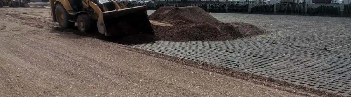
Water trapped under pavement reduces subgrade modulus by over 50 percent. Drainage is not optional — it is structural.
Method and coverage
Regional considerations
Baltimore gets about 42 inches of rain per year, with heavy storms that dump two inches in an hour. That kind of intensity saturates the subgrade fast, especially in areas with low-permeability clay like the Inner Harbor fill zones. The biggest risk we see is subgrade pumping — when fine particles migrate upward into the base course under traffic loads. That destroys the pavement structure from below. Poor geotechnical road drainage in Baltimore accelerates that process. We mitigate it by placing a geotextile separator between the subgrade and the stone base, and by sizing the drainage system for the 10-year, 24-hour storm event as recommended by the Maryland Stormwater Management Manual.
Process video
Standards that apply
ASTM D2434 – Permeability of Granular Soils (Constant Head), ASTM D5084 – Hydraulic Conductivity of Saturated Porous Materials, AASHTO M 288 – Geotextile Specification for Subsurface Drainage, Maryland Stormwater Management Manual (MD SWM, 2000, rev. 2021), IBC 2021 – Chapter 18 (Soils and Foundations) – Drainage Requirements
Related services
Subsurface Drainage Design & Permeability Testing
Field and lab permeability tests (ASTM D2434, D5084) to determine hydraulic conductivity of the subgrade and base materials. We design edge drains, French drains, and drainage blankets with proper filter criteria to prevent clogging. Includes groundwater monitoring during wet season to calibrate flow rates.
Consolidation Drainage & Slope Drainage Solutions
For road embankments on soft clay, we design wick drains (PVDs) with surcharge to remove pore water and achieve 90% consolidation before paving. For cut slopes along I-83 or Falls Road, we install horizontal drains or trench drains to intercept seepage and maintain slope stability.
Typical parameters
Common questions
Why is geotechnical road drainage critical for Baltimore roads?
Baltimore has high clay content in its subgrade soils and a shallow water table in many areas. Without proper drainage, water trapped under the pavement reduces the subgrade's California Bearing Ratio (CBR) by 50–70%, leading to rutting, potholes, and premature failure. Our designs follow ASTM and AASHTO standards to keep the road structure dry and stable.
How much does a geotechnical road drainage study in Baltimore cost?
A typical subsurface drainage investigation and design for a local road segment in Baltimore ranges between US$800 and US$2,450, depending on the number of test pits, permeability tests, and the complexity of the groundwater model. We provide a fixed quote after the initial site walk-through.
What soil tests are needed for road drainage design?
We run grain size analysis (ASTM D6913), Atterberg limits (ASTM D4318), and constant or falling head permeability tests (ASTM D2434 or D5084). For steep slopes, we also perform direct shear or triaxial tests (ASTM D3080, D2850) to evaluate shear strength under saturated conditions. Those results feed directly into the drainage layer thickness and filter design.
Can you retrofit drainage on an existing road in Baltimore?
Yes. We have retrofitted edge drains and trench drains on roads in Federal Hill and Canton where pavement was already showing distress. We use non-destructive surveys like ground-penetrating radar (GPR) to locate the water table and void areas, then install perforated pipes with geotextile wrap without full-depth reconstruction.